|
2月7日(月)
Feb 7.
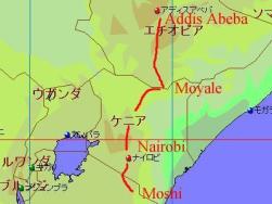
地図は
Fland-Ale 日本世界地図 Ver 3.71を使用。
I used map data "Fland-Ale" and arranged it.
2日目。3,720 mにあるホロンボハット Horombo hut を7時間かけて登る。
高山植物が多数見られ、その景色を楽しみながら歩き続けるものの、
ペースは昨日よりも遅くなり、こば&りえさんの後ろを歩く様になっていた。
夕食後、高山病防止の薬を薦められたが、自分は薬で対処するのは体に良くないと思って飲まなかった。
(早めに薬を飲んで対処をする方が良かった事に、翌日知るハメに・・・)
This day was about 7 hours walking and reached Horombo hut about 3,720 m.
We could watch many high mountain plants and their flowers.
My walking speed was slower than yesterday, I walked behind Koba & Rie.
They recommended to drink a medicin for altitude desease, but I did not drink it.
Because to take a medicin is not good for my body, I thought.
左:出発して直ぐに着く隕石の落下地点(クレーター)へ移動中の風景。
右:そのクレーター近くでのこば&りえさん。
Left: A view when we walked to crater.
Right: Koba & Rie near the crater.
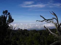 
左:クレーターを振り返ると、雲海が綺麗に広がっていた。
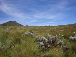
右:その後、ハットを目指して移動中に広がる草地。
Left: There was field of clouds behind the crater.
Right: Grass field along mountain trail.
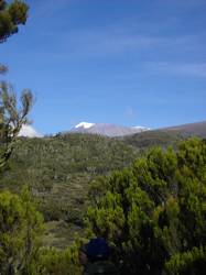 
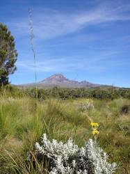
左:やっとキリマンジャロの頂上が見える様に。
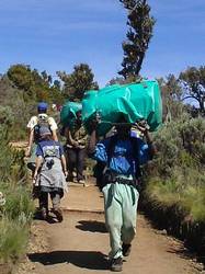
右:多くのポーターがこの様に、頭に荷物を載せて運んでいた。
Left: We could watch Mt. Kilimanjaro in day 2nd and 3rd.
Right: Many porters put their baggages on their head top.
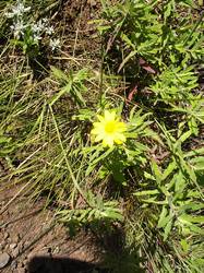 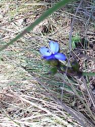
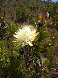
左右:途中で見られる花々その1。
Left & Right: Flowers.
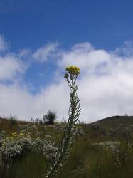 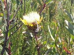
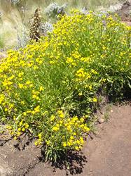
左右:途中で見られる花々その2。
Left & Right: Flowers.
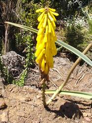 
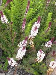
左右:途中で見られる花々その3。
Left & Right: Flowers.
左右:途中で見られる花々その4。
Left & Right: Flowers.
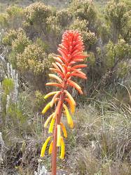 
左:花々その5。
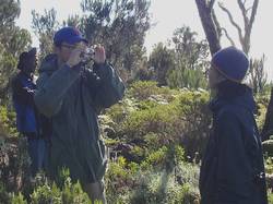
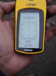
右:GPSにて標高を確認。富士山の頂上と同じ位の高さだ。
Left: Flowers.
Right: Today's reached altitude is as same as Mt. Fuji in Japan.
|